

Woodland to Moorlands
Woodland to Moorlands
Woodland to Moorlands
Woodlands to Moorlands: Quantitative Habitat Mapping for the South West
This project will develop a set of open source methods/ tools, using freely available Earth Observation (EO) data, optimised to provide key landscapes across the SW (North Devon Biosphere Reserve and Dartmoor NP) with targeted, fine scale, robust and repeatable habitat and land cover mapping data.
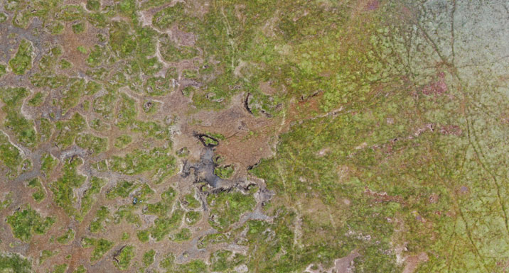
This project aims to implement and embed novel remote-sensing methods for the routine mapping (extent and condition) of woodland, moorlands and key habitats in support of more profitable and sustainable landscape management.
This work will develop strategic, and user-informed woodland/habitat mapping datasets across key areas of the south west, using newly available open source datasets (Sentinel 1, Sentinel 2 and Tellus LiDAR data). This project will implement expert image classification and uncertainty assessment algorithms that are well-established and routinely exploited in the scientific literature, in combination with these newly available spatial datasets and machine learning habitat mapping approaches.
Ultimately, this project will also deliver a unique set of data, tools and methods fit for key stakeholders throughout the southwest and indeed expandable to the rest of the UK following the projects implementation. This will allow for both repeatable and methodologically robust mapping, as and when needed by the product partners in the future. The work fills current gaps in the availability of up-to-date and reproducible habitat data at fine spatial resolution and across large spatial extents. This work will also provide resources via an open-source set of tools and methods, and will actively transfer key methods and know-how into partner organisations and non-remote sensing specialists.
Team members
- Prof Richard Brazier (co-PI)
- Prof Charles Tyler (co-PI)
- Dr David Luscombe
- Dr Naomi Gatis
- Dr Donna Carless
- Assoc Prof Karen Anderson
Funding
- SWEEP (NERC)
- Dartmoor National Park
- Natural England
Project partners
This research is funded by SWEEP in partnership with Dartmoor National Park Authority (DNPA), Natural England and the forestry commission.
Publications
- Carless, D., Luscombe, D.J., Gatis, N., Anderson, K., Brazier, R.E. (2019) "Mapping landscape-scale peatland degradation using airborne lidar and multispectral data". Landscape Ecology 34:1329. https://doi.org/10.1007/s10980-019-00844-5