| UCAS code | 1234 |
|---|---|
| Duration | 1 year full time 2 years part time |
| Entry year | 2024 |
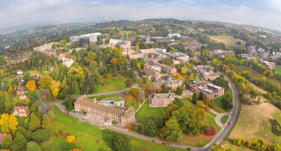
| Campus | Streatham Campus |
| Discipline | Geography |
| Contact |
| Typical offer | 2:1 degree from a recognised university |
|---|---|
Overview
- Apply and develop Geographical Information Science through the revolution of spatial analysis, mapping and geo-technologies
- Develop practical skills such as coding, drone analysis, remote sensing workflows and geo-visualisations, as well as key employability skills such as group work, communication, and presentation skills
- Tailor your degree to your career aspirations by undertaking an applied project which can be either research-led or consultancy focussed
- Optional Esri certification exam at the end of your course provides you with commercial certification
- Benefit from a programme that is driven by science and innovation with a focus on environment, employability, and business
- Pursue careers in the spatial information industry, national and local government, consultancies, utilities, research organisations
![]()
Top 30 in the world for Geography
QS World University Subject Rankings 2023
![]()
Top 10 for Geography and Environmental Science
8th in The Complete University Guide 2024
![]()
6th in the UK for world-leading research in Geography and Environmental Studies
Based on 4* research in the Research Excellence Framework 2021
![]()
9th in the world for Geography
ShanghaiRankings Global Ranking of Academic Subjects 2022
Entry requirements
A 2:1 degree.
An understanding of the applications of GIS is all that is required as students entering at an introductory level will be required to take an additional core module in their first term.
Applicants with workplace experience will be considered on an individual basis.
Entry requirements for international students
English language requirements
International students need to show they have the required level of English language to study this course. The required test scores for this course fall under Profile B2. Please visit our English language requirements page to view the required test scores and equivalencies from your country.
Course content
Geographical Information Systems and remote sensing tools are the technologies at the heart of this multi-disciplinary science which is transforming the way data is collected, the research we undertake, the networks we reach, the way we communicate through geo-apps and the decisions that we make as individuals and organisations.
You will empower digital transformation through GIS and discover how it is being applied in a growing industry crossing all sectors including business, government, science and leisure.
We will train you in the entire GIS workflow from data collection to processing, analysis, publication, and dissemination of insights. You will develop skills in applying, investigating, visualising and communicating spatial data and detecting patterns. Alongside this, you will study drone analysis and geo-visualisations, discovering the 3D capabilities and animation in the Esri platform and open source solutions.
Optional modules enable you to gain a more in-depth understanding of machine learning, big data or data ethics.
Your applied project will either provide an opportunity for you to work with external partners and apply GIS skills in a consultancy project or work with a University of Exeter academic to tackle local or global research goals.
The modules we outline here provide examples of what you can expect to learn on this degree course based on recent academic teaching. The precise modules available to you in future years may vary depending on staff availability and research interests, new topics of study, timetabling and student demand.
Fees
2024/25 entry
UK fees per year:
£14,300 full-time;
International fees per year:
£28,600 full-time
Scholarships
We invest heavily in scholarships for talented prospective Masters students. This includes over £5 million in scholarships for international students, such as our Global Excellence Scholarships*.
For more information on scholarships, please visit our scholarships and bursaries page.
*Selected programmes only. Please see the Terms and Conditions for each scheme for further details.
Teaching and research
How will I learn?
We utilise a range of teaching methods to help you learn, from lectures and seminars, to reading groups and tutorials. Methods modules involve practicals and substantive modules are often based on lectures and student-led seminars. You will be encouraged to develop your own research and disciplinary interests over the course of the academic year.
Assessment
Assessment will vary by module, but will include coursework essays, seminar papers, presentations and a 15,000-word dissertation.
Facilities
The Streatham Campus in Exeter offers the £3.7 million Sediment Research Facility which provides additional laboratories, experimental facilities and a wide range of state-of-the-art analytical equipment.
Careers
Employer-valued skills this course develops
You will develop a range of skills that are highly sought after such as spatial data science, remote sensing, webGIS, open source solutions and geo- visualizations. Alongside this we place an emphasis on developing transferable skills such as group work, communication and presentation skills.
We have worked closed with Esri, the world’s leading GIS software provider, to ensure you gain the skills and knowledge required in an applied setting. You can also choose to complete an Esri certification exam at the end of your course which provides you with commercial certification.
Career paths
You will develop a diverse and sought-after portfolio of skills that will lead to careers in the spatial information industry, national and local government, consultancies, utilities, and research organisations. The skills developed will be internationally recognised by employers across industry, educational communities, and scientific institutions worldwide.
Graduates could peruse careers in a variety of roles such as Geospatial analyst, Remote Sensing scientist, GIS consultancy, GIS manager, GIS Technician, or in applied roles such as Environmental Policy associate, Transport Planning, Energy Systems, campaign data analyst. Such roles could be at organisations such as UK Hyrdroghic Office, Met Office, Esri, Pegasus Group, Ordnance Survey, AECOM, Entran, Geollect, ALCIS
Careers services
Our careers teams at the Career Zone can help guide you through a wealth of information to match your skills and interests to a career that will suit you. Our staff work with regional, national and international employers to develop new work placement, project and graduate opportunities.