
Desk-based research
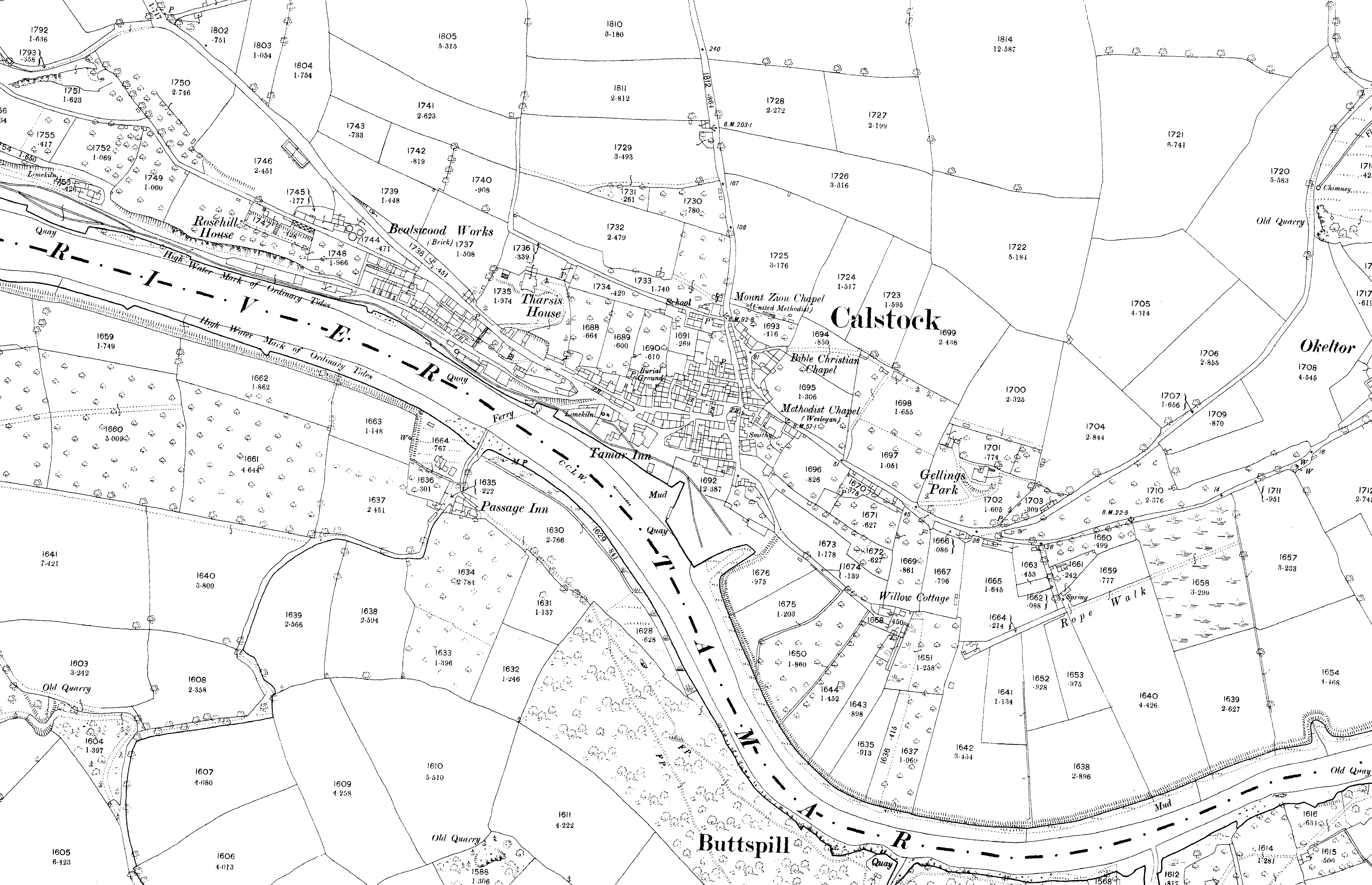


Are you fascinated by old maps, what documents can tell us, or by the names given to places within the landscape?
Would you like to know where to find and how to use information relating to the known archaeological finds, sites and monuments in your local area?
LiDAR and Archaeology workshops in the Tamar Valley
Thursday 5th, 12th, 19th and 26th March 2020
10am-3pm Bere Alston Parish Hall
These workshops will train participants in the use of data obtained via airborne laser scanning (LiDAR), information that is now freely available under Government Open Access agreements. Each week we will search for the traces of lost archaeological sites and relics of the historic landscape across the Tamar Valley AONB and, by cross-referencing with records of known archaeology and old maps, we will be able to see if these ‘digital discoveries’ have ever been recognised before.
You can book for one or more of the workshops but places are limited and prior booking is essential. Whilst we have a small number of computers for use, to make these workshops open to as many as possible we hope that participants can bring their own laptop computers, with Google Earth installed.
We hope that these events will inspire you to explore old maps, documents, aerial photographs and archaeological information and learn how to use them to chart the development of the historic landscape – the pattern of settlements, fields, woodlands and commons.
Pre-booking is essential and places are allocated on a first-come first-served basis. To register complete the application form and email to Chris Smart (c.j.smart@exeter.ac.uk).